Don't Miss




 to add an item to your Itinerary basket.
Written by: Amanda
Date posted: 09 October 2026
Location: Alston to Furness Abbey
We asked the Westmorland and Furness Council Countryside Access Team for some key pointers when looking to take on the new Westmorland and Furness Way long-distance walking route……
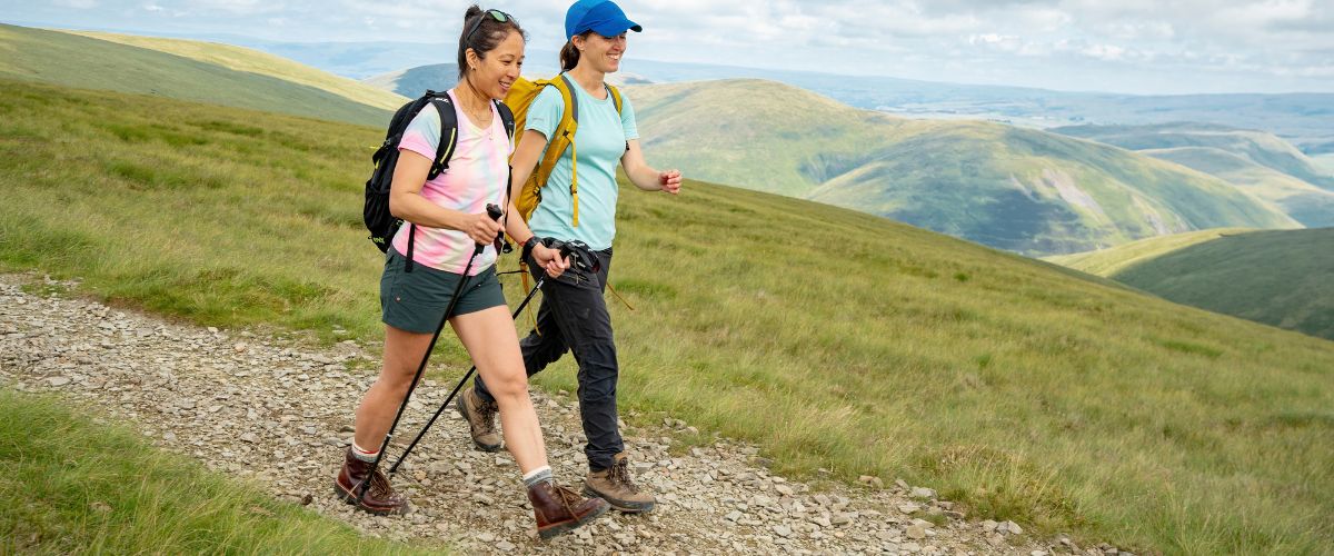
Photo: Westmorland and Furness Way
How long does it take to walk the Westmorland and Furness Way?
The Westmorland and Furness Way takes an estimated 8 to 17 days to complete depending on your personal ability. To make a start with your planning, take a look at the official website www.westmorlandfurnessway.co.uk. We have also developed a range of inspiring itineraries ranging from day walks and weekend adventures, to suggestions for breaking up the full route - find them here.
How do I get to the route?
The Westmorland and Furness Way is in Cumbria in the north of England.
The starting point is Alston in the north and the route finishes at Furness Abbey (near Barrow-in-Furness) in the south. However, you can walk the route from Barrow-in-Furness to Alston or join the route in other places and just complete a section.
Alston
From Haltwhistle train station on the Carlisle to Newcastle train line, you can take the 681 bus service to Alston - operated by Go Northeast. This service runs five times a day, Monday to Saturday.
Alternatively, on a Tuesday, you can alight at Hexham train station (also on the Carlisle to Newcastle train line) for the 889T bus service, operated by Wrights Coaches.
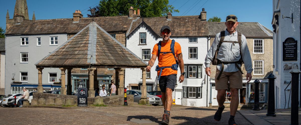
Alston. Photo: Westmorland and Furness Council
Furness Abbey (Barrow-in-Furness)
From Furness Abbey you can catch the X6 Stagecoach bus that operates between Barrow and Ulverston to connect to Barrow or Ulverston train stations on the Furness line. This scenic line has an easy connection with the West Coast Mainline at Lancaster.
Click here for more travel advice
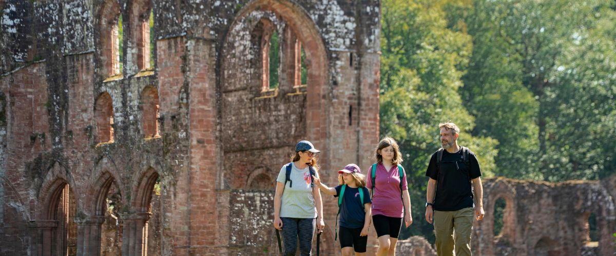
Photo: Westmorland and Furness Council
When is the best time of year to walk the Westmorland and Furness Way?
The Westmorland and Furness Way can be walked all year round, but certain sections could be challenging over autumn and winter. In general, spring and summer, through to early autumn, offer warmer and dryer conditions. However, walkers should be prepared for all conditions as the Cumbrian weather can change rapidly.
In the autumn and winter, the weather can make for challenging conditions, especially on higher ground. Ensure you check the weather forecast before you set off and carry all the appropriate clothing and equipment.
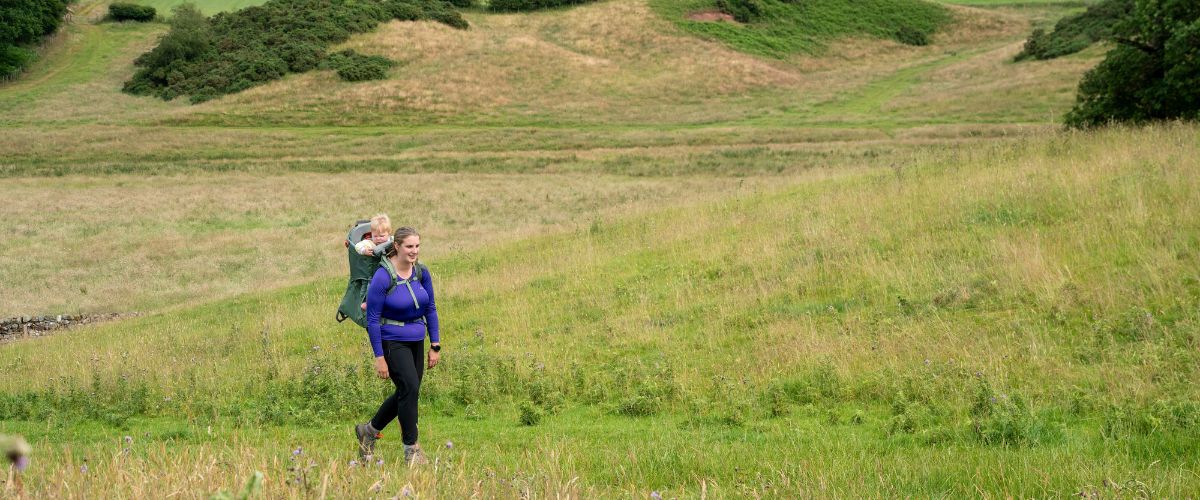
Photo: Westmorland and Furness Council
Is it easy to follow the route of the Westmorland and Furness Way and are GPX files available?
The Westmorland and Furness Way mainly uses the route and signage of existing long-distance trails including the Pennine Way, the Pennine Journey, the Coast to Coast, the Dales Highway, the Dales Way, the Cumbria Way and the King Charles III England Coast Path. On sections where new route has been developed to connect the existing trails, walkers will find Westmorland and Furness Way signage.
We always recommend that walkers take the relevant paper maps and a compass, and are proficient in using them to navigate. You can also download the official GPX files from the website www.westmorlandfurnessway.co.uk. The route is relatively easy to follow as it stays on well used paths. Read our advice on navigation here.
What is the terrain like along the Westmorland and Furness Way?
The Westmorland and Furness Way follows good trails through a wide range of countryside, from high fells to riverside routes.
Across the route as a whole, the terrain should be suitable for a wide range of abilities. There are more challenging sections such as Over the Pennines and Exploring the Dales and Howgills. The route over the Howgills does offer a high and low option and the final section, while Along the Cumbrian Coast is easier terrain.
A number of stiles have been replaced by kissing gates to make the route more accessible, however walkers should expect to encounter steps and stiles as well as gates along the route. Walkers should remain vigilant of passing traffic at road crossings and on the short sections where the route follows quiet, country roads.
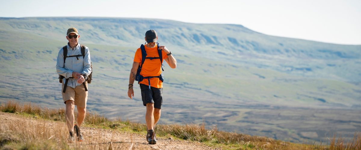
Photo: Westmorland and Furness Council
Should I book accommodation in advance?
The Westmorland and Furness Way passes through a lot of smaller Cumbrian towns and villages where accommodation options can be limited. Therefore, we would advise walkers to pre-plan your route and pre-book accommodation.
Are there low-cost accommodation options and is wild camping allowed?
Wild camping is not legally allowed in Cumbria – camping is only allowed with the express permission of the landowner. However, it is sometimes tolerated in more remote areas - only if you camp high up (above the highest fell wall / approx. 400m) and stay for just one night. You should also ensure that you leave no trace of your camp and cause no disturbance. There are a number of campsites, hostels, camping barns and bothies along the route for those looking for a low-cost option. Check the accommodation section for details.
Are there any guidebooks for the route?
There is not currently a guidebook for the route, however we are working with partners to explore options for this. In the meantime the route details are available online at www.westmorlandfunessway.co.uk
Are there any passports/certificates available to show we have completed the route?
Yes! You can keep a record of your journey by purchasing a passport and collecting stamps along the route. One stamp is required per section to qualify for your completion certificate. Stamping stations are located along the route and you can get a full list on the website.
Any profits from the passports and certificates will go towards the cost of keeping the path open and accessible for walkers and local communities. By buying the Westmorland and Furness Way passport you are playing a part too. Find out more here.
Can I cycle the Westmorland and Furness Way?
Certain sections of the Westmorland and Furness Way are on bridleways, restricted byways, and byways, and therefore cyclable. This is relevant for the sections which cross the North Pennines and the Howgill Fells. However, these are challenging and strenuous routes which would require an appropriate off-road bike and a good level of skill and fitness. Elsewhere, the route uses footpaths, where it is illegal to cycle.
Can I walk the Westmorland and Furness Way alone?
Many walkers enjoy the tranquility and mindfulness of walking alone. If you decide to take on the route on your own, we recommend that you have the appropriate level of fitness, skill and experience. We would also recommend you let someone know your route and expected arrival times in case you encounter any problems along the way. You can find advice for staying safe here
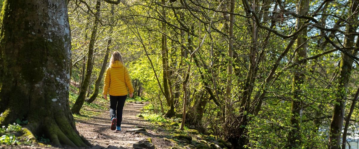
Photo: Westmorland and Furness Council
Can I take my dog with me?
Yes, you can take your dog while walking on the Westmorland & Furness Way as long as they are kept under control. Sections of the route do pass through farmland, and you should keep your dog on a short lead whenever there is livestock nearby (like cows or sheep).
Dogs can also disturb wildlife when off lead, it is particularly important to keep them under close control on moorland in spring and summer to avoid disturbing ground nesting birds. When booking accommodation, we would also recommend checking for dog friendly options.
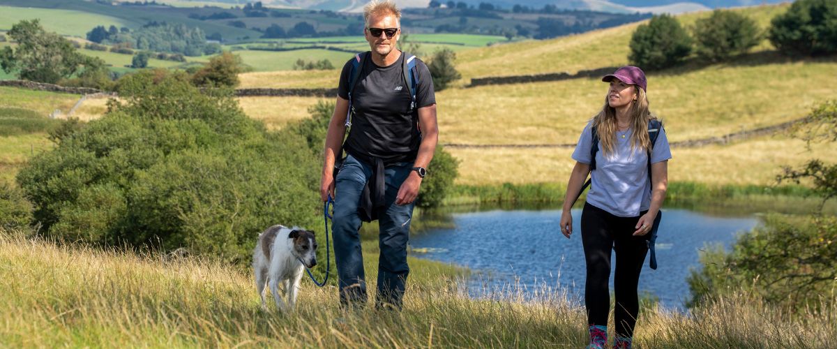
Photo: Westmorland and Furness Council
You may leave the Lake District, but once you’ve been, it’ll never leave you.
You may also like
Follow The Lake District, Cumbria on Social Media
Receive all the latest news, special offers and information from the Lake District, Cumbria

Ratings Powered By


© Cumbria Tourism